Walking
Hike in the Gorges de Villiers
Difficulty level: Easy
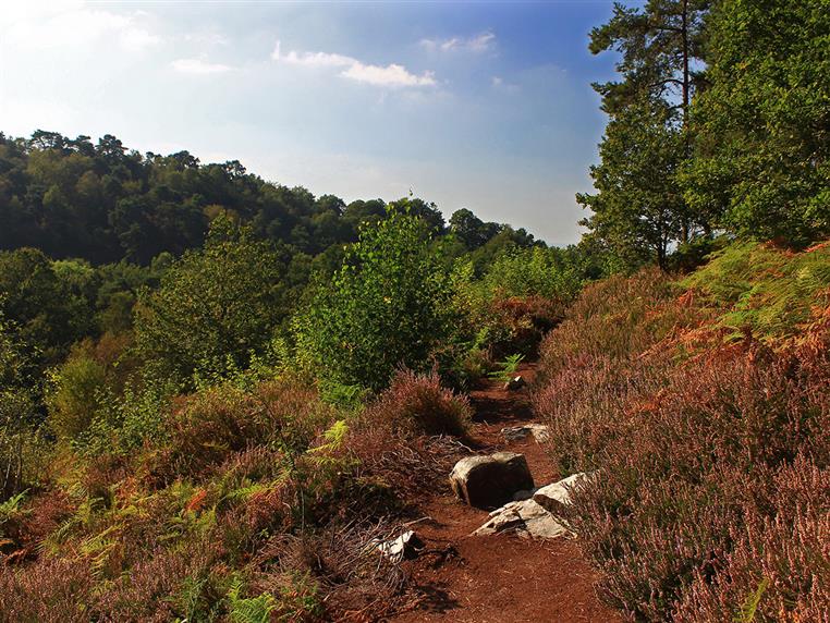
A surprising concentration of natural environments: a steep valley, peat bogs, dry moorland, pine and beech trees, with a chapel and a hot spring as a bonus...
8 Km
Signage
- 1 à 2 - jaune 2 à 3 - blanc - rouge 3 à 4 - jaune 4 à 5 - blanc - rouge 5 à 6 - jaune 6 à 3 - blanc - rouge
Particular difficulties
- The path is very steep after stage 6. Hunting area (find out more from the ONF or the mairie)
Useful information
- Departs from: MAGNY-LE-DESERT
- Arrives at: MAGNY-LE-DESERT
- Car park: Au bord de la D 270, à 250 m au sud du carrefour du Grand Evier
To do nearby
- La Vallée de la Cour : étang Bagnoles de l'Orne, station thermale Forêt domaniale des Andaines La Ferté Macé : musée du jouet, base de loisirs
To see on the route
- Fontaine et Chapelle Saint Antoine Gorges de Villiers Grotte de la fée Gisèle Source d'eau chaude
Route open to activities
Walking
- Difficulty: Easy
- Duration : 02 hours30
Stages
-
Stage 1 - 1
Coordinates: 48.54341, -0.358 Stage ID: 0001E1 -
Stage 2 - 2
Coordinates: 48.53828, -0.35582 Stage ID: 0001E2 -
Stage 3 - 3
Coordinates: 48.53643, -0.35245 Stage ID: 0001E3 -
Stage 4 - 4
Coordinates: 48.53388, -0.32121 Stage ID: 0001E4 -
Stage 5 - 5
Coordinates: 48.53176, -0.32879 Stage ID: 0001E5 -
Stage 6 - 6
Coordinates: 48.53006, -0.33709 Stage ID: 0001E6 -
Stage 7 - 7
Coordinates: 48.53438, -0.33842 Stage ID: 0001E7 -
Stage 8 - 3
Coordinates: 48.53643, -0.35245 Stage ID: 0001E8
Who to contact?
-
Fixed telephone
-
e-mail
-


