Walking
Hike to Saint Céneri le Gérei Trotté via La Corniche
Difficulty level: Medium
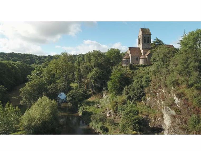
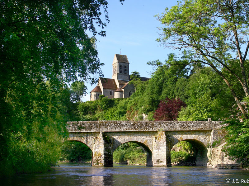
Discover the most beautiful views over Saint Céneri Le Gérei, which has “most beautiful villages in France” classification, lying on the confluence of La Sarthe and Le Sarthon.
5.5 Km
02 hours00
Signage
- 1 à 2 > non balisé 2 à 4 > blanc - rouge 4 à 5 > vert 5 à 6 > blanc - rouge 6 à 2 > vert
Particular difficulties
- The Chemin des Gaulois is very slippery in high areas during rain, between stages 2 and 3. There are narrow paths between stages 3 and 5, and 7 and 2.
Useful information
- Departs from: SAINT-CENERI-LE-GEREI
- Arrives at: SAINT-CENERI-LE-GEREI
- Car park: Mairie
To do nearby
- Jardins de la Mansonière Alençon : musée des Beaux-Arts et de la dentelle, maison natale de Sainte Thérèse, château des Ducs, basilique Notre-Dame, halle au blé
To see on the route
- Saint Céneri (classé "Petite Cité de Caractère") : église romane, chapelle, auberge des sœurs Moisy Chemin des Gaulois points de vue Moulin de Trotté Sarthon : hameau typique
Route open to activities
Walking
- Difficulty: Medium
- Duration : 02 hours00
Stages
-
Stage 1 - 1
Coordinates: 48.38146, -0.05141 Stage ID: 07GKA1 -
Stage 2 - 2
Coordinates: 48.37939, -0.05274 Stage ID: 07GKA2 -
Stage 3 - 3
Coordinates: 48.37255, -0.05308 Stage ID: 07GKA3 -
Stage 4 - 4
Coordinates: 48.3723, -0.05657 Stage ID: 07GKA4 -
Stage 5 - 5
Coordinates: 48.37569, -0.06716 Stage ID: 07GKA5 -
Stage 6 - 6
Coordinates: 48.37746, -0.0566 Stage ID: 07GKA6 -
Stage 7 - 7
Coordinates: 48.38252, -0.05723 Stage ID: 07GKA7 -
Stage 8 - 8
Coordinates: 48.37937, -0.05283 Stage ID: 07GKA8
Who to contact?
-
e-mail
-


