Walking
Authors and Literature
Hike La Comtesse de Ségur - Pays d'Ouche Normandy
Difficulty level: Easy
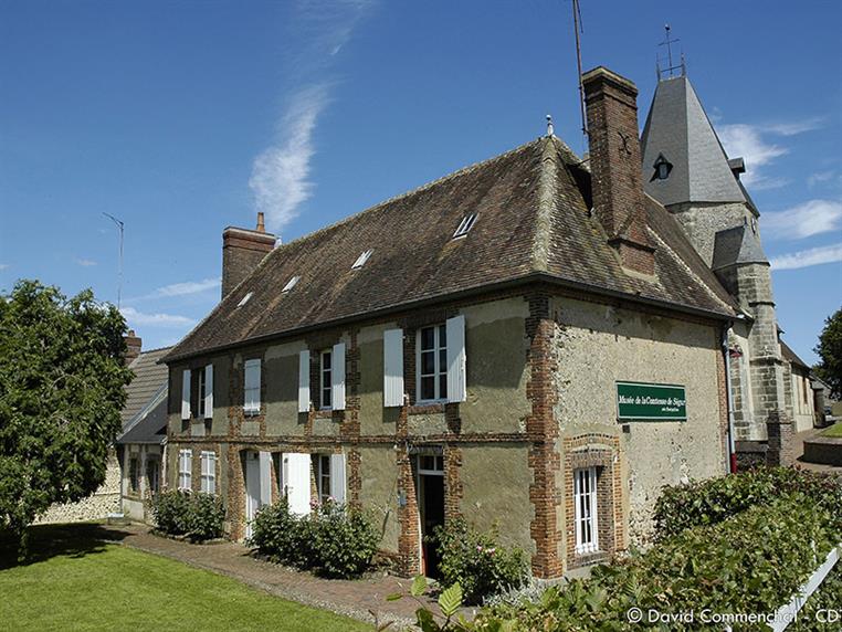
At the center of the route is Le Pot-à-Beurre, a nod to the Countess of Ségur who found in the plain of Aube, dominated by the high forests of the Parc des Nouettes, the source of her inspiration.
10 Km
03 hours00
Signage
- Balisage : jaune
Useful information
- Departs from: AUBE
- Arrives at: AUBE
- Negative elevation gain: -72 m
- Positive elevation gain: 72 m
Route open to activities
Walking
- Difficulty: Easy
- Duration : 03 hours00
Stages
-
Stage 1 - N°1
Coordinates: 48.74068, 0.54485 Stage ID: 0000K1 -
Stage 2 - N°2
Coordinates: 48.74188, 0.55399 Stage ID: 0000K2 -
Stage 3 - N°3
Coordinates: 48.72704, 0.56568 Stage ID: 0000K3 -
Stage 4 - N°4
Coordinates: 48.72298, 0.56244 Stage ID: 0000K4 -
Stage 5 - N°5
Coordinates: 48.71589, 0.54904 Stage ID: 0000K5 -
Stage 6 - N°6
Coordinates: 48.72959, 0.53851 Stage ID: 0000K6 -
Stage 7 - N°7
Coordinates: 48.73697, 0.54592 Stage ID: 0000K7
Who to contact?
-
e-mail
-


