Walking
Hike: The ponds – A breath of fresh air in Saint Evroult Notre Dame du Bois
Difficulty level: Easy
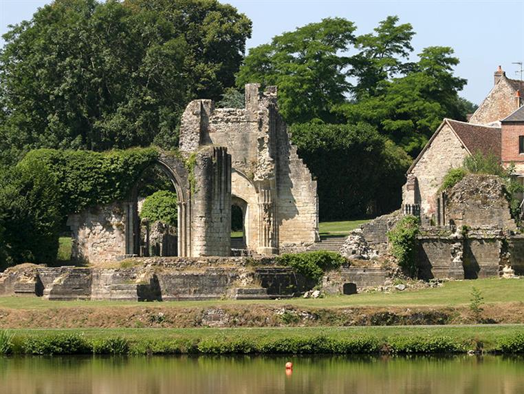
Take a walk to discover the ponds belonging to the former abbey and, thanks to a diversion, walk through some of the undergrowth of the remarkable Saint-Evroult forest, where the monks have sought solitude for centuries.
Signage
- Suivre le circuit n°31
Particular difficulties
- Some paths may be rather wet and muddy, especially between stages 5, 6 and 7.
Useful information
- Departs from: SAINT-EVROULT-NOTRE-DAME-DU-BOIS
- Arrives at: SAINT-EVROULT-NOTRE-DAME-DU-BOIS
- Negative elevation gain: -167 m
- Positive elevation gain: 167 m
- Car park: Parking de l'ancienne abbaye
To do nearby
- L'Aigle : musée Juin 44, musée d'Archéologie, musée de l'Instrument de Musique Marcel Angot, parcours botanique. Gacé : musée de la Dame aux Camélias Saint Sulpice sur Risle : La Manufacture Bohin
To see on the route
- Ancienne Abbaye Source de la Charentonne (fontaine et chapelle Saint-Evroul Etang et fontaine Saint-Clair
Route open to activities
Walking
- Difficulty: Easy
- Duration : 03 hours00
Stages
-
Stage 1 - N°1
Coordinates: 48.7916265, 0.46054007 Stage ID: 0000S1 -
Stage 2 - N°2
Coordinates: 48.7863348, 0.45405442 Stage ID: 0000S2 -
Stage 3 - N°3
Coordinates: 48.7720558, 0.44705512 Stage ID: 0000S3 -
Stage 4 - N°4
Coordinates: 48.7748737, 0.47480748 Stage ID: 0000S4 -
Stage 5 - N°5
Coordinates: 48.7785494, 0.48189111 Stage ID: 0000S5 -
Stage 6 - N°6
Coordinates: 48.786140, 0.487089 Stage ID: 0000S6 -
Stage 7 - N°7
Coordinates: 48.788773, 0.473571 Stage ID: 0000S7
Who to contact?
-
Fixed telephone
-
e-mail
-


