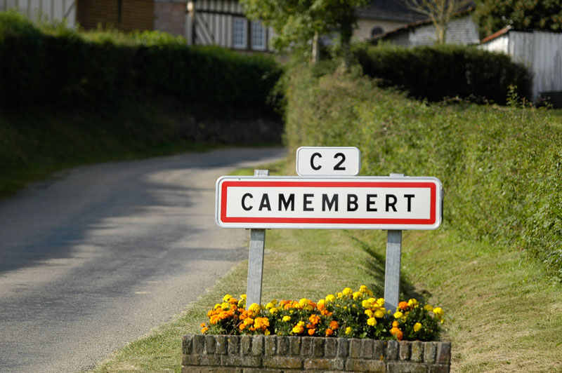
Camembert country hike to Vimoutiers – Pays d'Auge Ornais
In the southern Pays d’Auge, this circuit, between Vimoutiers and the famous village of Camembert, will take the hiker in the footsteps of Marie Harel, in the sunken paths so typical of the area.
Signage
- Jaune
Particular difficulties
- You will cross the D.916 at stage 3 and the D.16 between stages 7, 8 (twice) and 9.
Useful information
- Departs from: VIMOUTIERS
- Arrives at: VIMOUTIERS
- Negative elevation gain: -454 m
- Positive elevation gain: 454 m
- Car park: Parking place Mackau
To see on the route
- Vimoutiers : musée du camembert (l'histoire de la fabrication du camembert et celle de Marie Harel), statue de Marie Harel Vergers du Chouquet Camembert : village et maison du camembert
Route open to activities
Walking
- Difficulty: Difficult
- Duration : 05 hours00
Stages
-
Stage 1 - N°1
From the Place Mackau, walk in front of Ratisfette and the Halle au Beurre. Take Rue Eugène-Laniel straight ahead.
Coordinates: 48.928814, 0.197239 Stage ID: 0000M1 -
Stage 2 - N°2
Turn left in front of the post office, then turn right up the path to Les Genevrais. Follow the route to the right, then turn left at the stone cross.
Coordinates: 48.927631, 0.195093 Stage ID: 0000M2 -
Stage 3 - N°3
Cross the D916 (take care!), walk downhill for 500 m, then follow the route up the hill. Continue on the path ahead. At the bottom, take the left-hand route for 100 m, then climb the steep path to the right.
Coordinates: 48.924530, 0.180759 Stage ID: 0000M3 -
Stage 4 - N°4
At Le Grand-Chemin, turn right and continue for 750 m. Turn left and descend towards Le Val-Postel. In front of the houses, take the path to the left. Follow the path to the left for 50 m, then take the easy descent to the left and pass in front of the lake.
Coordinates: 48.909695, 0.176811 Stage ID: 0000M4 -
Stage 5 - N°5
Turn right, pass the crossing, head towards La Bergerie, then fork left and climb the steep path. At the road, follow the path to the right for 500 m, then turn left. Take the route to the left for 250 m, then bear right on the path towards Camembert. After Beaumoncel, turn right and head downhill, passing the church in Camembert, and then take Vallée de la Viette.
Coordinates: 48.902248, 0.166683 Stage ID: 0000M5 -
Stage 6 - N°6
Cross the D246, continue ahead for 350 m, then fork left and ascend the plateau.
Coordinates: 48.891415, 0.178614 Stage ID: 0000M6 -
Stage 7 - N°7
Turn left onto the D16, continue for 50 m, then cross over (take care). Follow the path for 150 m, turn left, take two more lefts and cross the D16 again (take care!) to the path ahead. Turn right onto the path along the forest edge for 1.5 km.
Coordinates: 48.885151, 0.194492 Stage ID: 0000M7 -
Stage 8 - N°8
Fork left, descend for 800 m, turn right and pass Vimont.
Coordinates: 48.900497, 0.202990 Stage ID: 0000M8 -
Stage 9 - N°9
Turn left onto the D16 and continue for 300 m (take care!), cross over and head towards Pont-Percé. At the stone cross, turn left. Return to Vimoutiers on Rue du Docteur-Marescot, Rue du Pont-Vautier and Rue du Moulin.
Coordinates: 48.910427, 0.203590 Stage ID: 0000M9
Who to contact?
-
Fixed telephone
-
e-mail
-


