The Chapelle du Cerisier
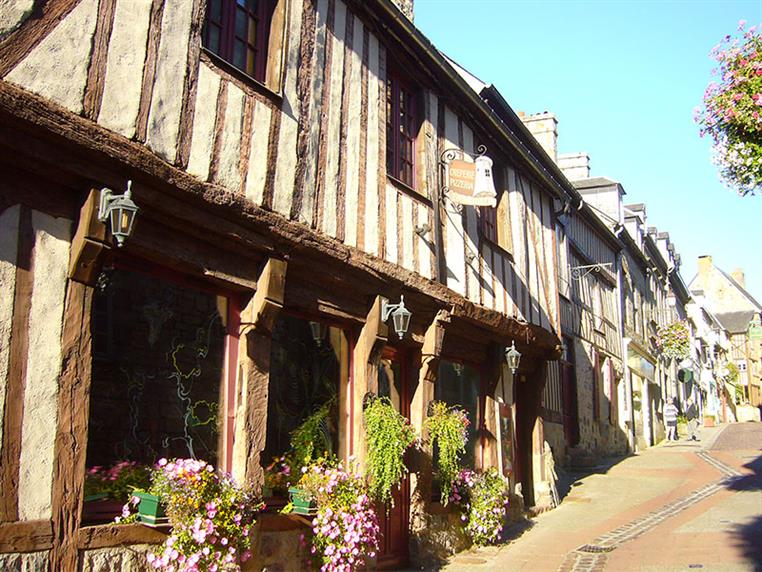
Walking in the footsteps of Charles Léandre, you will discover a chapel built by a a priest and teacher, a manor house and a fly fishing course; all on the doorstep of the medieval town of Domfront.
Signage
- 1 à 2 - Blanc - rouge 2 à 8 - Jaune 8 à 1 - Blanc - rouge
Useful information
- Departs from: DOMFRONT EN POIRAIE
- Arrives at: DOMFRONT
- Car park: Au carrefour de la Croix-des-Landes par la D908, à 1 km à l'Est du centre-ville.
To do nearby
- - Domfront : cité médiévale - Saint Fraimbault : village fleuri - Le Domaine Bagnoles de l'Orne : station thermale, le BO'Spa - Massif forestier des Andaines
To see on the route
- - Le Cerisier : maisons de schiste des tisserands et cloutiers d'autrefois - Vallée de la Varenne - Moulin et hameau de La Nocherie - Vue sur Domfront
Route open to activities
Walking
- Difficulty: Medium
- Duration : 03 hours00
Stages
-
Stage 1 - N°1
From the parking, cross the D 908 (be careful !) and take the road to the Landes pond, for 650 m.
Coordinates: 48.59169, -0.62847 Stage ID: 0000O1 -
Stage 2 - N°2
Turn left and follow the racetrack to reach Beauvent. Cross the D 908 (be careful!), follow it on the left for 150 m, then turn right for 400 m.
Coordinates: 48.5911, -0.6193 Stage ID: 0000O2 -
Stage 3 - N°3
Turn right, cross the Haut-Rienté farm, then continue on the road to the right until you reach La Haie-au-Gué. Shortly after the hamlet, at the crossroads, turn right for 400 m, then left to cross the Andainette.
Coordinates: 48.59766, -0.61261 Stage ID: 0000O3 -
Stage 4 - N°4
After l'Andainette, continue straight ahead until you reach the D 208. Turn right, then left towards Le Tertre and follow the road for 300 m. At the T-junction, turn left, cross the D 21 in the axis and continue to Le Cerisier. After the chapel, continue for 350 m.
Coordinates: 48.60649, -0.58339 Stage ID: 0000O4 -
Stage 5 - N°5
Go down to the left until you reach the old railroad. Go along it on the right, cross it and reach the mill of Nocherie. Go up.
Coordinates: 48.61599, -0.59327 Stage ID: 0000O5 -
Stage 6 - N°6
Cross the road and continue straight ahead on the path. Turn left to cross the stream, then take the road to the right.
Coordinates: 48.61674, -0.60268 Stage ID: 0000O6 -
Stage 7 - N°7
At the junction, take the road to the left for 250 m. Turn left and pass the Mogisière. At the crossroads, turn left and, just before Friloux, take the path on the right for 1 km.
Coordinates: 48.61753, -0.61451 Stage ID: 0000O7 -
Stage 8 - N°8
Before Vaussourdet, go down to the left. Cross the old railroad, then cross the Varenne and go up to the Gloriette. Turn left, cross the road and continue in the axis to join the starting point.
Coordinates: 48.60577, -0.62393 Stage ID: 0000O8
Who to contact?
-
Fixed telephone
-
e-mail
-


